


The Strathbogie Granite Project is a collaboration between researchers from Melbourne and Stellenbosch in South Africa. The focus is the granite hills and plateaux from Tallarook to Mt Samaria in central Victoria.
The project has been built around collaboration between Professor John Clemens at the University of Stellenbosch in South Africa, Professor Neil Phillips of the University of Melbourne, and their colleagues and postgraduates.

Products of the research are made publicly available through various outlets. Informal verbal reports and short updates are provided from time to time including on site, and geological input is provided during community field days and excursions.
The granite studies are published regularly in scientific journals and copies are available upon request. Two conferences have been held in Benalla to engage the scientific and regional communities in sharing ideas and results: there was the Victoria Undercover Conference of 2003 covering 46 papers on aspects of land and landforms especially in NE Victoria; these included airborne and satellite surveys, aquifers, salinity, vegetation, soil and underlying geology. The International Granite Symposium @Benalla was held in 2017 with lectures, field trips, abstract volume and some keynote speakers from overseas.
Formal community presentations have been at Tallarook, Yea, Seymour, Euroa, Creighton Creek, Gooram, Strathbogie, Swanpool, Avenel, Benalla, Strathbogie, Melbourne and Bendigo.
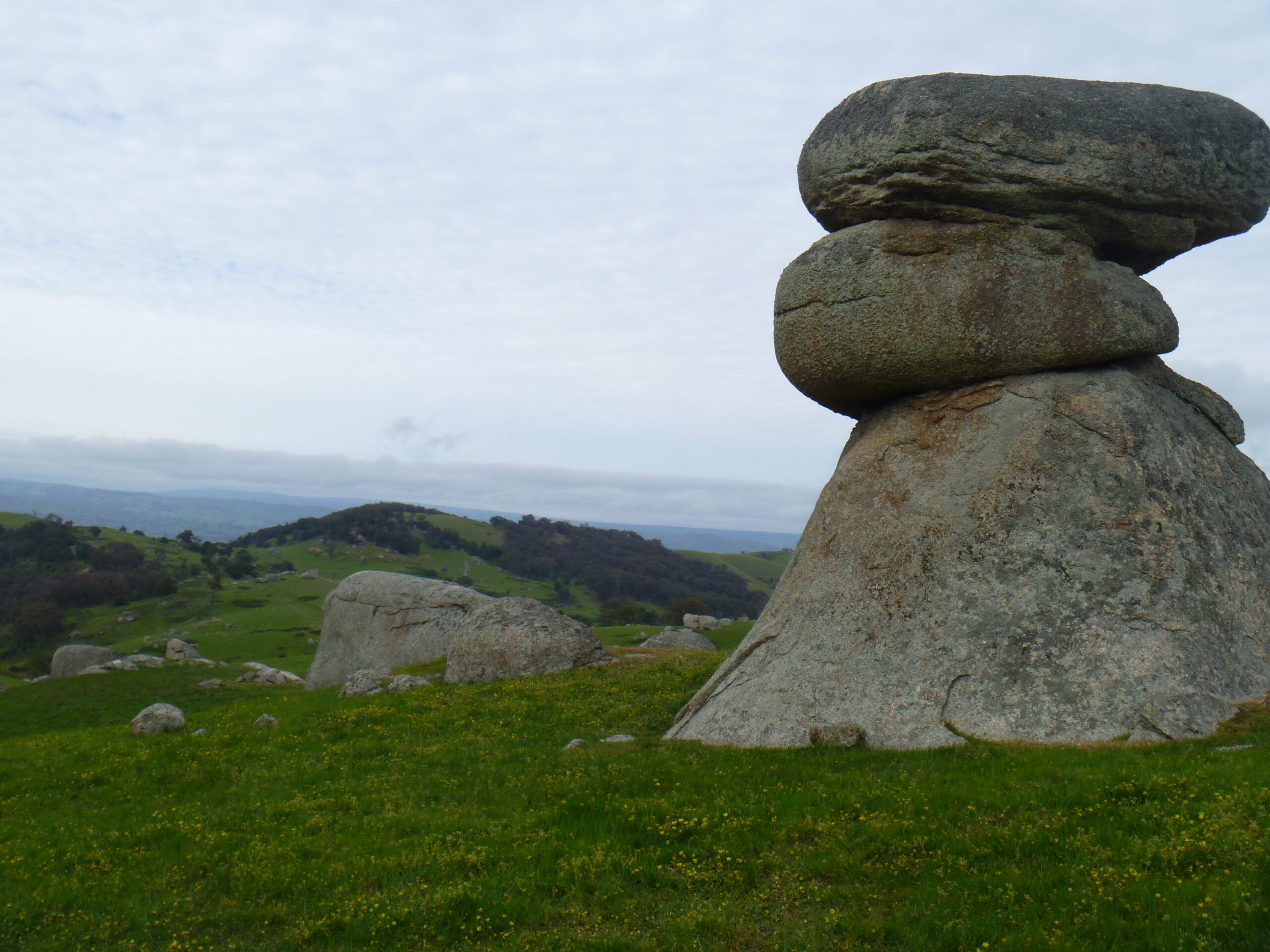
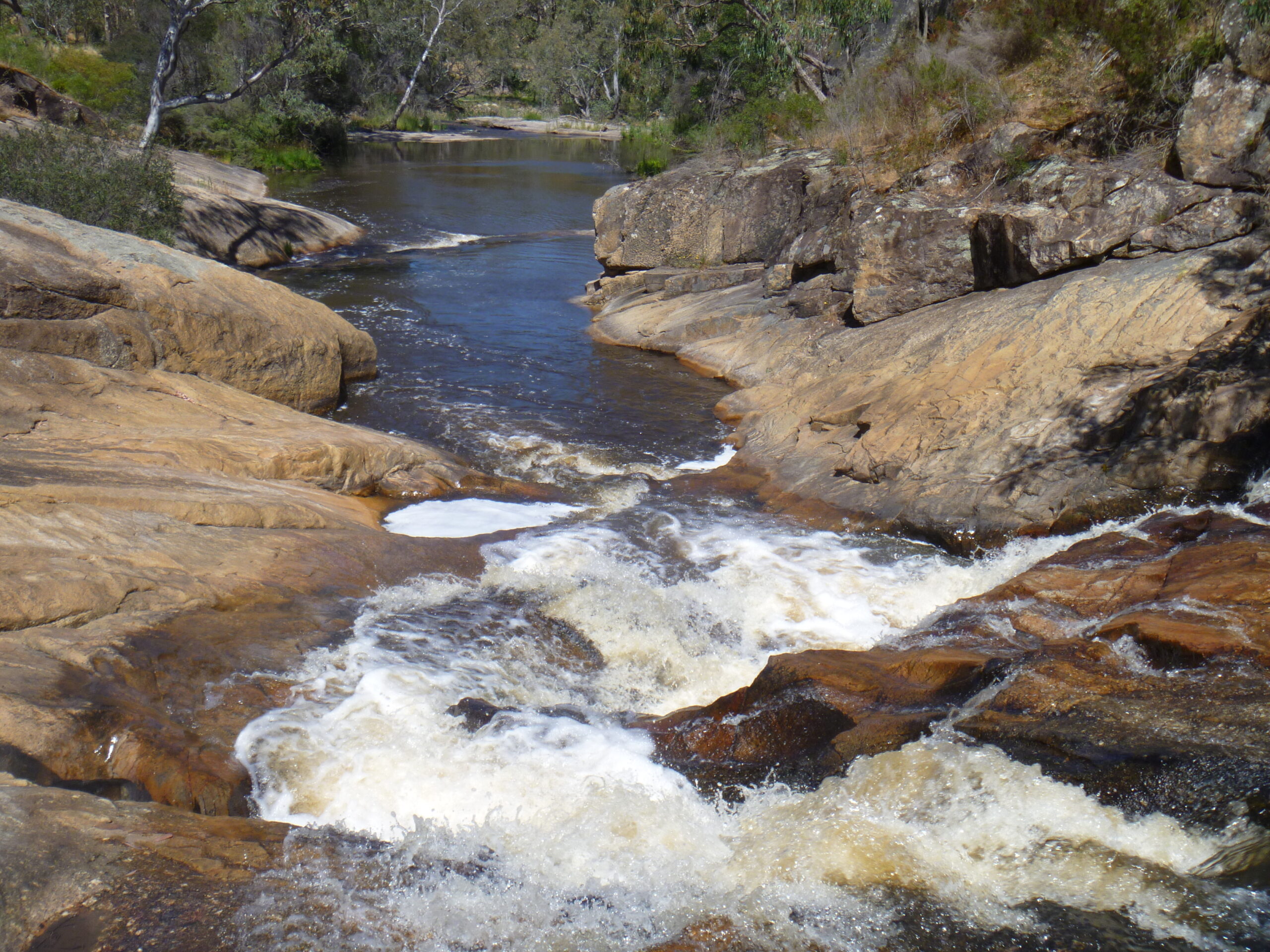
One benefit of the research has been a regional geology synthesis that provides a baseline for ground water, soil, vegetation, rock cover and agriculture studies. Many of the immediate surface features that influence farming, and even whether the land is cleared at all, reflect subtle variations in the nature of the underlying granite rocks. For example, cracks in the granite lead to either tors (boulders) or pavements (slabs), or both, depending on whether they are predominantly horizontal or vertical, and these cracks affect ground water flow. Perched paddocks and elevated bogs are a feature of the Strathbogie plateau and have developed because of the horizontal nature of granitic sheets.
Field work extending to much of the granite has only been possible because of the co-operation of land holders, many of whom have provided access and shared their deep knowledge of their own land.